
Managed 360 capture services for digital inspection
Capture Once. Verify Anywhere.
Construction teams today still rely on repeated site visits, fragmented photos, and manual reporting to verify progress and conditions. This often leads to delays, miscommunication, and disputes.
AcePLP’s Managed 360 Capture Services provide a structured way to capture site conditions and convert them into navigable, verifiable digital records, ready for use in workflows such as Virtual Temporary Occupation Permit (VTOP) and remote inspections.
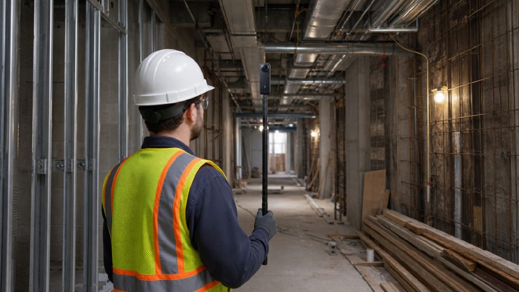
What We Do
We provide an end-to-end service to help project teams capture, process, and use site data effectively, without needing to build internal capability.
Each engagement includes:
Capture Planning & Coordination
On-site 360 Data Collection
Processing into a spatial digital twin environment using platforms such as cupixworks
Structured Handover for Review & Use
Our focus is not just on capturing data, but on delivering usable outputs aligned to project and regulatory workflows.
Key Use Cases
Virtual Temporary Occupation Permit
Support your VTOP workflow with:
- Structured site capture
- Clear visual records
- Datasets ready for remote review
Remote Site Inspection
Enable teams to:
- Review site conditions remotely
- Reduce repeated site visits
- Perform basic measurement & verification
Progress Verification
Tracking installation status with:
- Visual evidence of completed works
- Alignment with BIM and design intent
Project Documentation
Maintain a consistent, timestamped record of:
- Site conditions
- Installations
- Changes over time
how it works
Step 1
plan
We align with your team on:
- Capture Areas (blocks, levels, zones)
- Submission or Inspection Requirements
Step 2
CAPTURE
Our team conducts on-site 360 capture using structured workflows to ensure:
- Sufficient Coverage
- Navigable Datasets
- Usable Outputs
Step 3
PROCESS
We upload and process the data into a Cupix-powered spatial environment, generating:
- 360 Walkthrough
- Spatial Dataset
- Ready-to-use Project Workspace
Step 4
HANDOVER
Your team receives:
- Access to the Processed Dataset
- A Structured Output for Review & Use
- Basic Support to Get Started
Scalable for Any Project
Our service is designed to scale across different project sizes. Captures are structured based on:
- Project Scope
- Submission Requirements
- Area Complexity & Access Constraints
- Site Layout & Accessibility
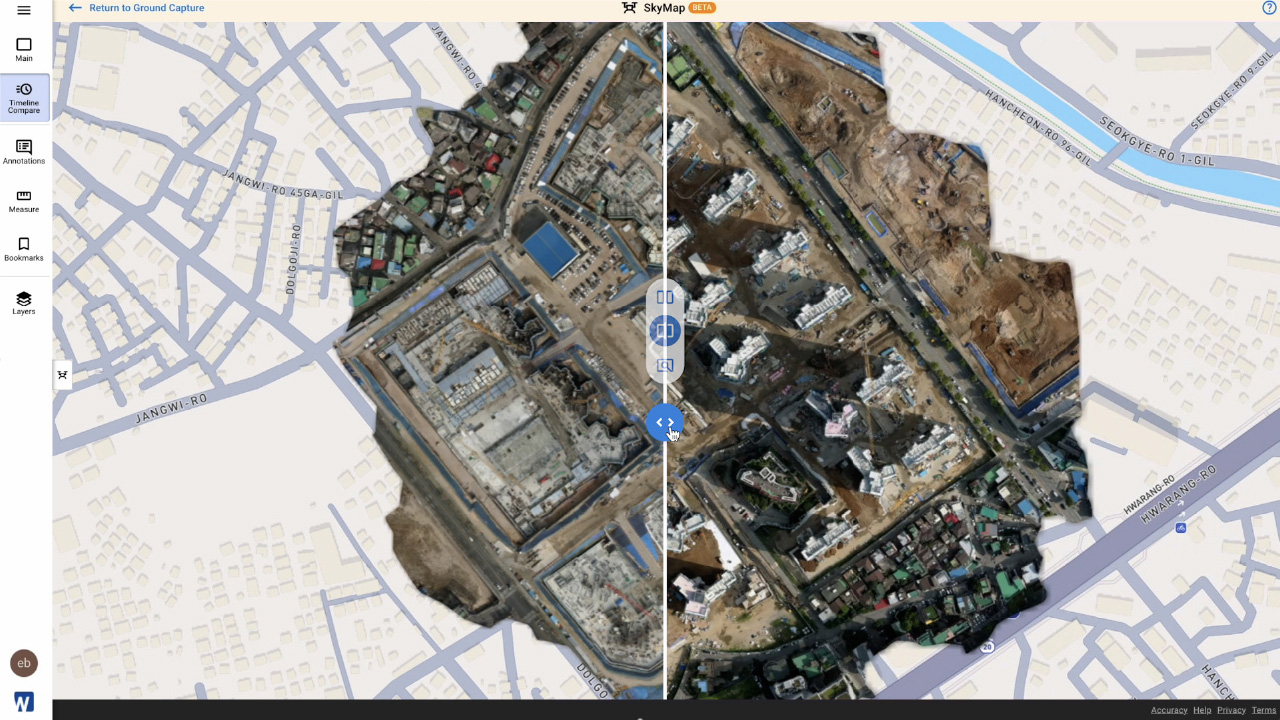
Service Structure
Our Managed 360 Capture Service is delivered as a structured engagement, with scope tailored to your project requirements.
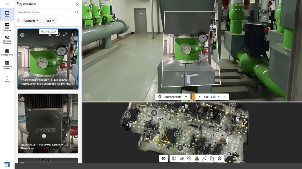
The level of effort is determined based on:
- Project Size (GFA or defined areas)
- Site Conditions & Accessibility
- Submission Requirements
Flexible to Project Needs
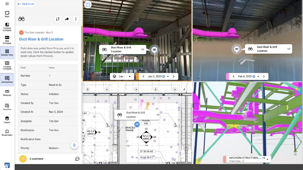
Additional services can be provided where required, including:
*All additional scope is aligned with project needs and agreed in advance.
- Additional Capture Sessions or Revisits
- Extended On-Site Atrtendance
- After-hours or Weekend Capture
- Annotation & Measurement Support
Why AcePLP?
Built for Construction Workflows
We understand how digital capture integrates with:
• BIM
• Project coordination
• Regulatory processes
Delivery, Not Just Technology
We don’t just provide tools. We ensure the data is usable, structured, and aligned to your workflow.
Proven Platforms, Local Expertise
We leverage industry platforms such as CupixWorks while providing the on-ground delivery, configuration, and workflow alignment required for successful adoption.
Get Started
User Notes:
This service provides visual, navigable site records and support for verification and inspection workflows.
Please note that this service does not offer survey-grade measurement, regulatory approval or certification, or full submission preparation.